Next generation photogrammetry software for professional drone and terrestrial mapping.
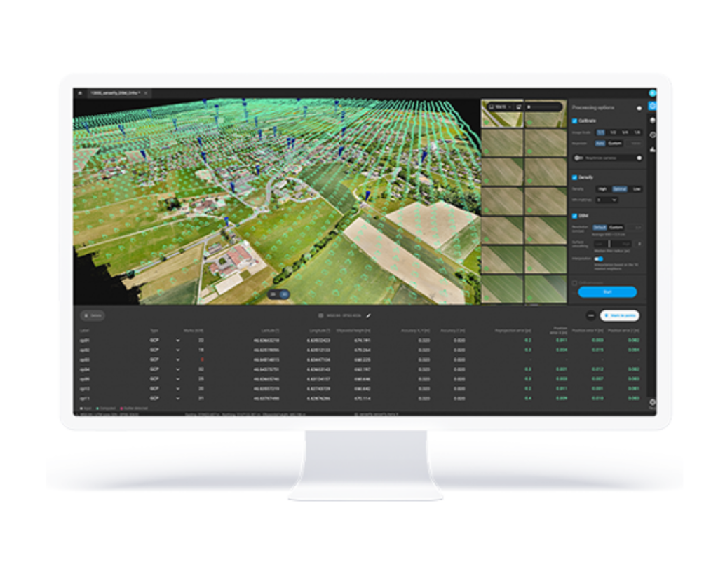
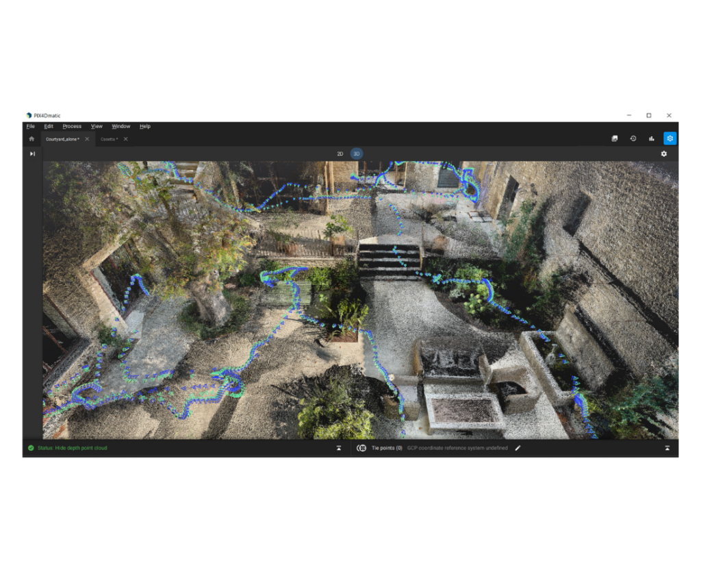
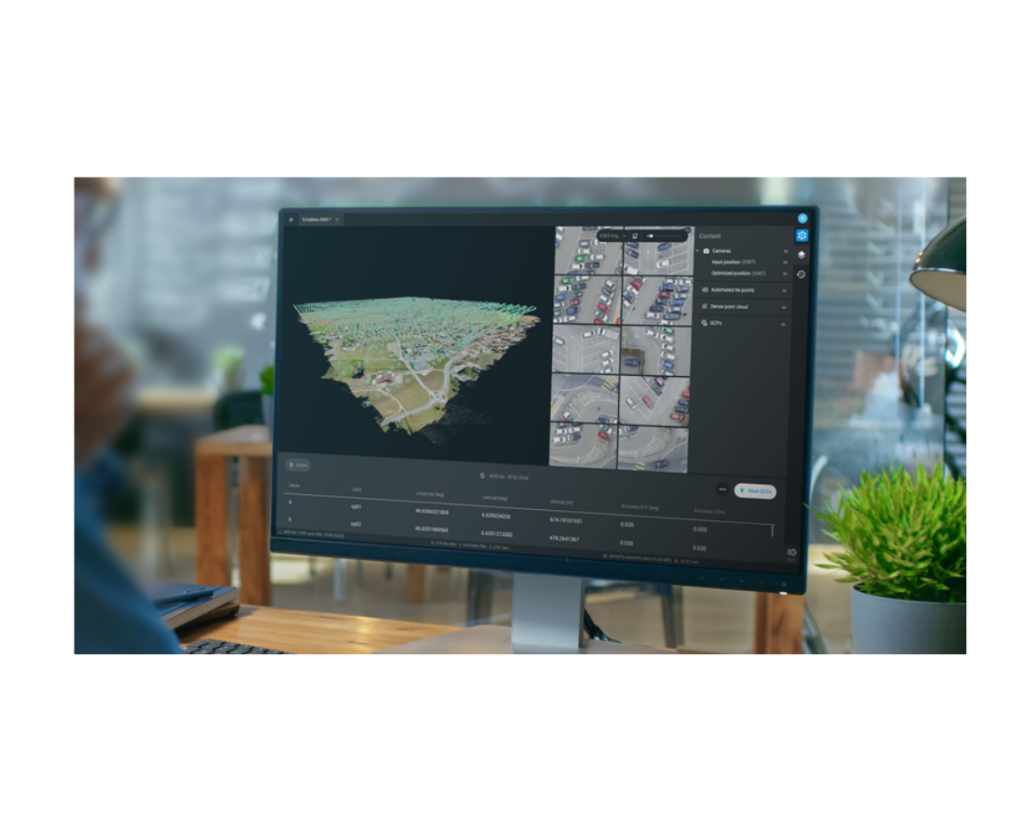
PIX4Dmatic processes thousands of images while maintaining survey-grade accuracy, halving the processing time, without the trouble of splitting and merging.
Developed in close-collaboration with surveyors and mapping professionals to streamline your workflow: import, process and assess the quality of a project in just a few clicks, and move seamlessly from PIX4Dmatic to PIX4Dsurvey.
Leverage the benefits of both photogrammetry and LiDAR technology. Process LiDAR and RGB image outputs from PIX4Dcatch for a full terrestrial workflow. Easy and desktop-based.
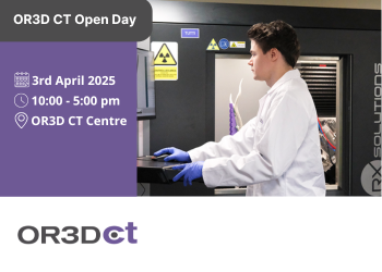
OR3D's comprehensive Knowledge Base Blog, your go-to resource for all things related to 3D Printing, Scanning, CAD Modelling, Reverse Engineering, Robotics, and company announcements. Our knowledge base is designed to empower you with the latest industry insights and news.
Speak to us today on
+44 (0) 1691 777 774

3 Cedar Court, Brynkinalt Business Centre, Chirk, Wrexham, LL14 5NS
Find Us